We use Open Source components from operating systems, office applications, DBMS to clients (mobile, desktop, or web) to follow the concept of sustainable IT, using non-proprietary standards.
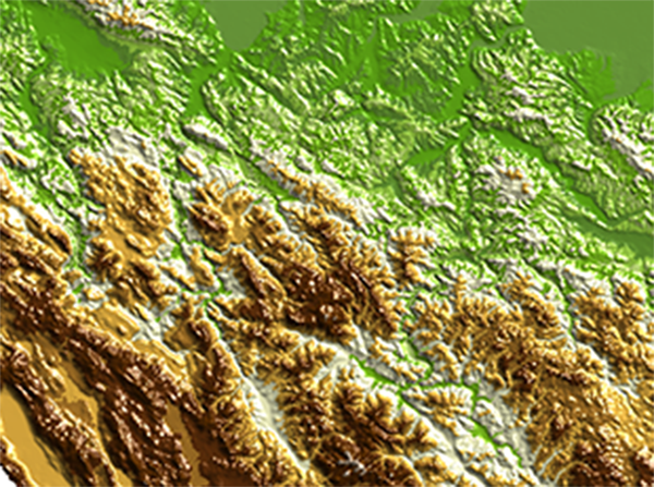
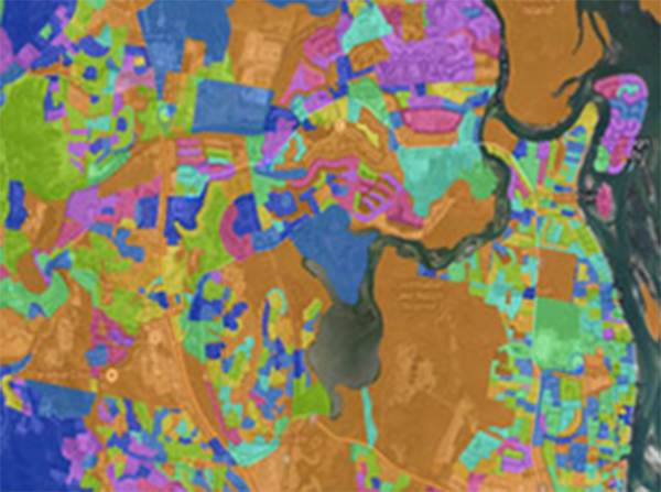
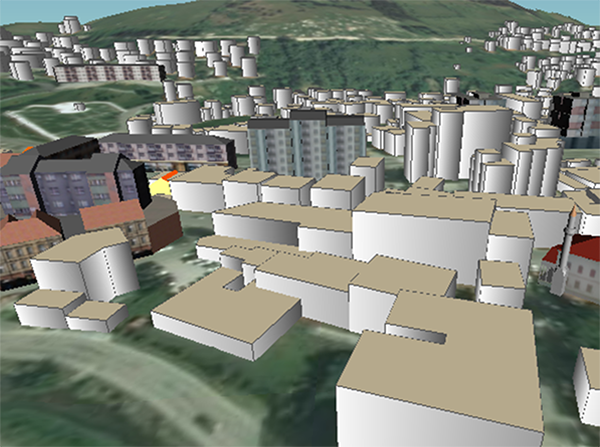
We are specialized in Open Source GIS projects like QGIS, OpenLayers, GeoServer, GeoTools, GDAL/OGR, PostGIS, GeoNode, GeoNetwork, but we are very experienced in most commercial GIS applications.
Our team of geospatial engineers helps you in simple and fast access to technologies, knowledge, and spatial data.
Our experts can support you in the geospatial analysis and understanding of your data, using geographic models and map dashboards.
GIS