CAD/BIM/GIS integration

Integration of GIS systems with CAD and BIM components, data modeling for BIM and digitization of archives to BIM methodology.

Building Information Modeling (BIM) is a new procedure / tool in the process of project management. It is used throughout the entire project development cycle (planning / design / construction and maintenance of facilities).

BIM includes:

  • Licence translation
  • Creation of a data model for BIM
  • Archive Digitalization according to the adopted methodology
  • Moving of the digitized data to the server
  • Integration of BIM and GIS databases so that users can simply switch from one view to the other.

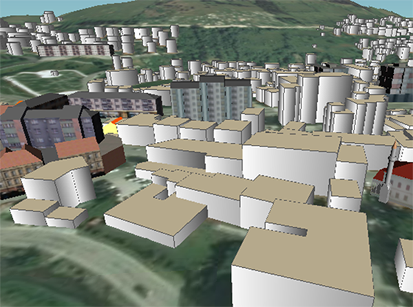
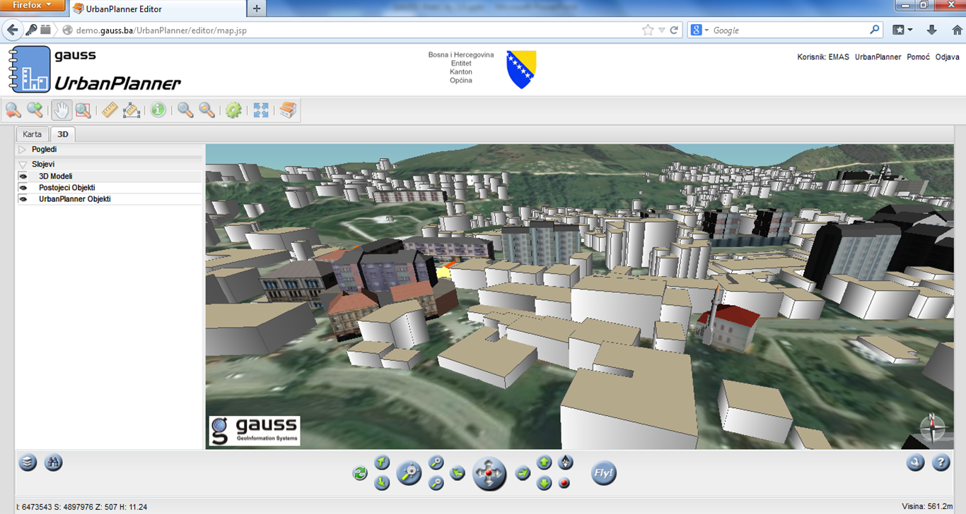
CAD/BIM/GIS integration, example Municipality of Travnik