The establishment of the Digital Archive Information System enables easy handling of documentation, data and metadata through spatial searching, and their further updating and keeping.
Basic functionality:
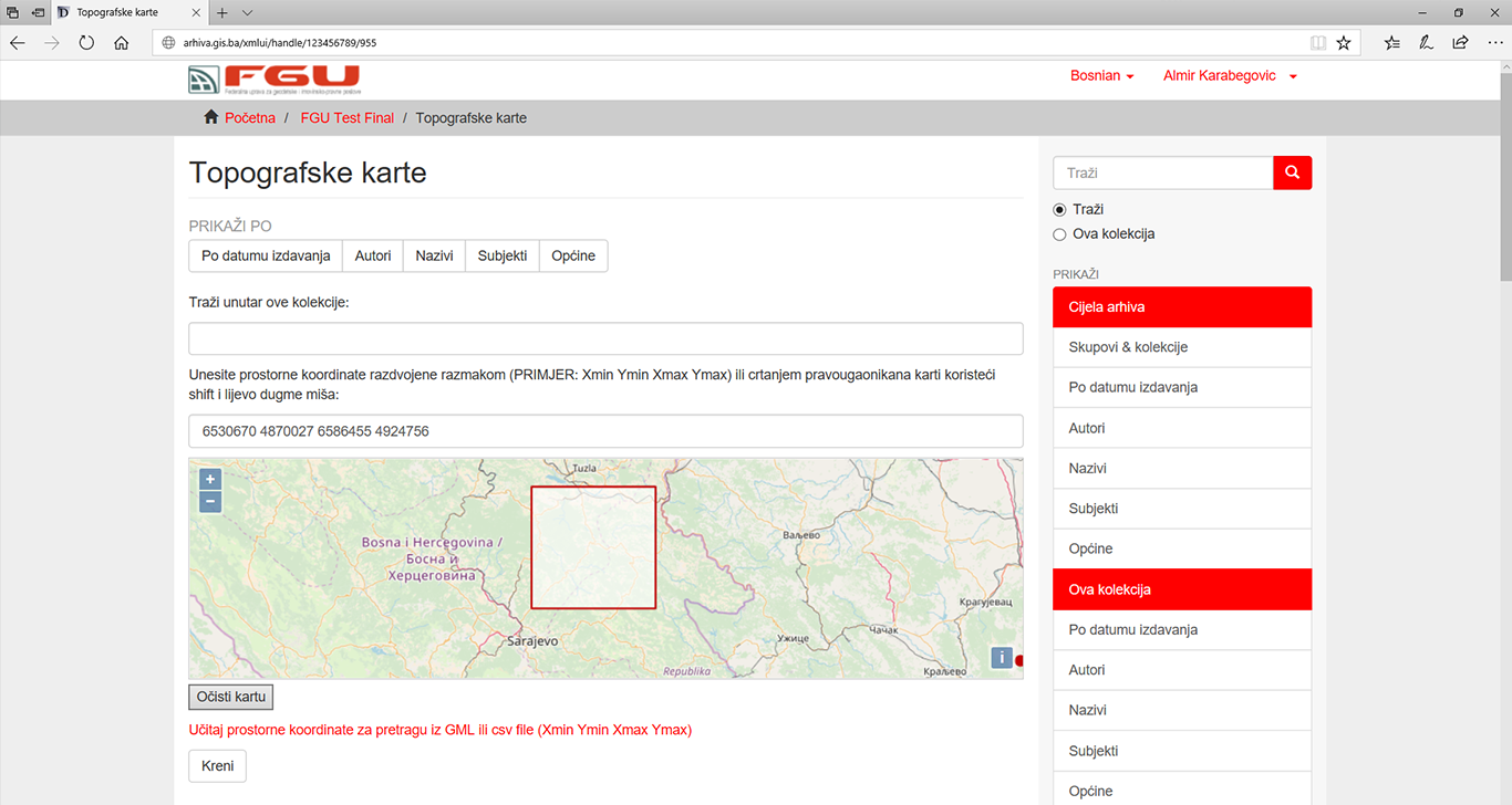
- Web application with full database.
- Full search by meta- and spatial data.
- Metadata model based on Qualified Dublin Core expandable with user schemes.
- Spatial referencing of all documents.
- Security and Access rights management at all levels.
- Disaster Recovery.
- Standard protocols (OAI_MPH, SWORD, OpenAIRE,…) and REST Web Services.
- Complete system and available Help in local languages (Bosnian/Croatian/Serbian).
Web application with full database.