Spatial data

For more than 18 years, GAUSS has been working on spatial data collection, analysis, migration and distribution.

We have a large library of raster data (scanned and georeferenced maps of all proportions, satellite and ortophoto images from different time periods), vector data (vector topographic maps with scale 1:200,000, 1:50,000, 1:25,000 and 1:10,000; there also other theme maps of geologic and geomorphologic character), table data (statistical data from different time periods, demographic etc.), digital terrain models (whole Bosnia and Herzegovina with neighboring countries in 30m resolution) with an accuracy in decimeter obtained by LIDAR technology.
  • Basic infrastructure: administrative borders of municipalities/settlements, harbors, airports, border crossings, tourism, culture and education.
  • Natural resources: hydrography, climate zones, land use/land cover, pedology, geology, precipitation, forest cover, digital elevation model.
  • Economy and infrastructure: economic objects, transportation corridors, detailed street mas, 3D models of cities, telecommunication, electric power infrastructure.
  • Demographic data: demographic data per gender/age/ education, economic indicators.

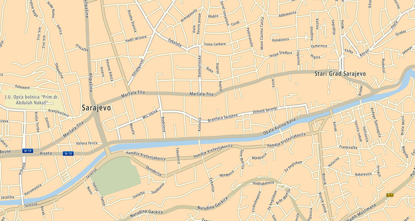
GAUSS Data, an example for B&H territory