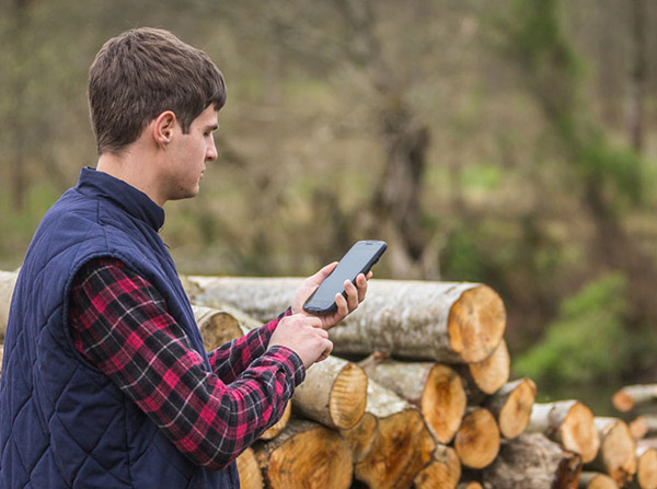
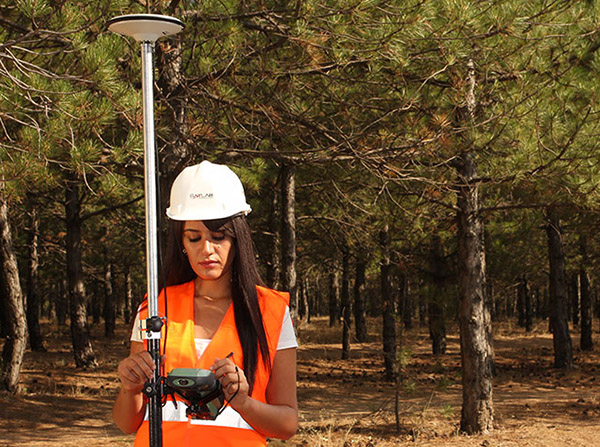
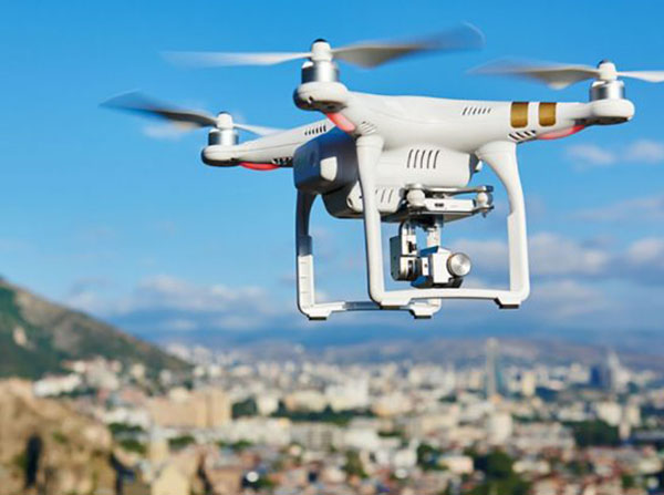
GNSS receivers are used to collect spatial data as well as to map the position of the object on the ground. To collect GIS data, we use handheld GIS/GNSS devices with an accuracy of less than one meter to 30 centimeters. Precise data is collected by GNSS geodetic devices with centimeter accuracy. Creation of orthophotos and creation of 3D models of terrain and objects is done by GNSS geodetic unmanned aerial vehicles (UAV).
GNSS AND MOBILE MAPPING