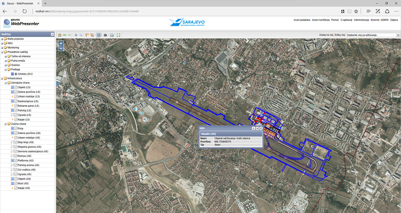
Public Enterprise Sarajevo International Airport d.o.o. Sarajevo, in cooperation with GAUSS, centralized all its spatial data and provided access to spatial data of other institutions and organizations; introduced GIS for real-time data presentation, intelligent analysis and full reporting, visualization via online interactive map, as well as data search.
In the framework of the project, a geodetic survey was performed for data validation. As a result of this survey a unique spatial data model was established.