

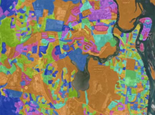
Spectrum Spatial Analyst
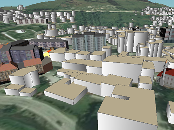
CAD/BIM/GIS integration
- Licence translation
- Creation of a data model for BIM
- Archive Digitalization according to the adopted methodology
- Moving of the digitized data to the server
- Integration of BIM and GIS databases so that users can simply switch from one view to the other.

Hand-held devices for GIS

Recent Comments