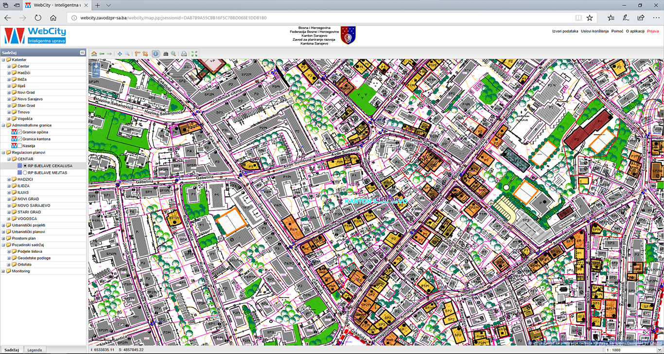
Development Planning Institute of the Sarajevo Canton, with GAUSS as a partner, has upgraded its information system with the WebGIS component, which enables a visual overview of all relevant information related to the Canton Sarajevo area.
With the integration and centralization of data following spatial documentation was included:
- Geodetic and topographic-cartographic data
- Spatial plan of Sarajevo Canton
- Urbanistic plan of Sarajevo
- Regulatory plans in Sarajevo Canton
- Information on license applications (urban, location, construction, use)
- Metadata.