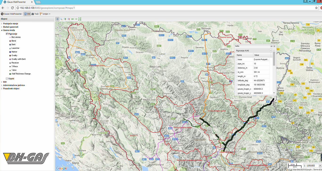
Information system for entering, maintaining and exporting data in accordance with the data model of the Cadastre of utility devices, prescribed by the Federal Administration for Geodetic and Property-Legal Affairs.
- CAD/GIS drawing tools.c
- Tools for data import/export in standard CAD/GIS format.
- All data stored in a database (DBMS).
- Data Replication functions via Web services.
- Entering information from individual or entire studies.
- Creating reports by selecting from a database or by drawing a line or polygon.
- Integration with other data on database or web service level (Orthophoto, DEM, BPKN,…).
- Available as a license or for renting on the Cloud platform.


