Hand-held devices for GIS

Hand-held devices for GIS

Manual GIS / GPS devices are designed to collect and map GIS data.

They enable work in extreme GNSS environments where GIS users require high accuracy.

Professional devices for geodesy

Professional devices for geodesy

Extremely productive and reliable RTK geodetic solutions for precise GNSS positioning.

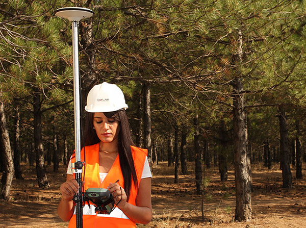
Optimally uses GNSS signals (GPS, GLONASS, GALILEO). Each satellite from any constellation is treated the same, which provides a fast and stable RTK solution that is resistant to the low visibility of GPS satellites in urban areas or under a dense forest cover.

Unmanned Aircraft Vehicle (UAV)

Unmanned Aircraft Vehicle (UAV)

istemi za snimanje iz zraka prikupljaju podatke pomoću visokopreciznog GNSS RTK uređaja.

Postižu visinsku tačnost bez potrebe za opažanjem kontrolnih tačaka.