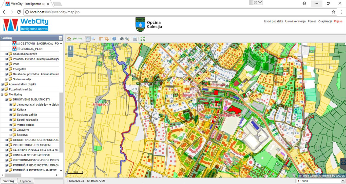
GAUSS LUPIS (Land Use and Planning Information System) is an unique information system in the area of spatial planning, land use and the protection of space on all levels..
It enables interactive information exchange, more efficient browsing and data base analysis, monitoring of processes and occurrences in space with the aim of making appropriate decisions.


