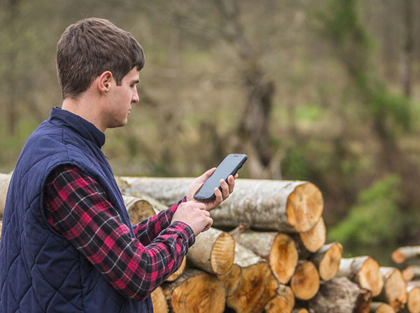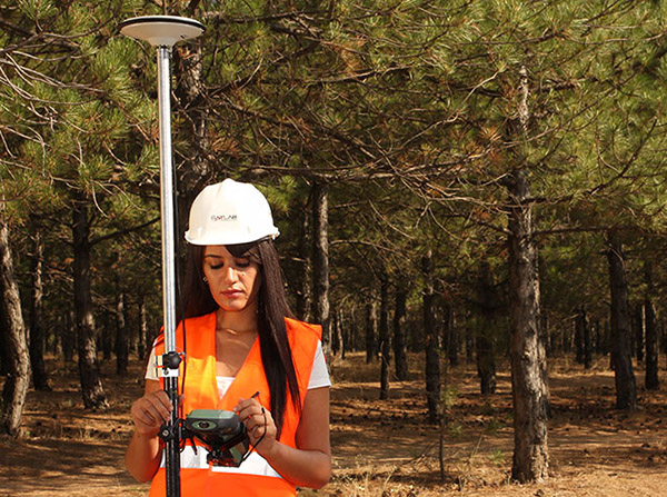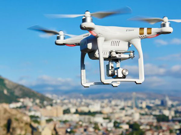
GNSS receivers are used to collect spatial data and map object positions in the field. For collecting GIS data, we use handheld GIS/GNSS devices with an accuracy of less than one meter to 30 centimeters. Precise data is collected with GNSS geodetic devices with centimeter accuracy. The production of orthophoto images and the creation of 3D models of terrain and objects is carried out by recording with GNSS geodetic unmanned aerial vehicles (UAVs).
GNSS AND MOBILE MAPPING